Rusheeny
Townlands of Oughterard
By Paul Gibbons

Anglicized from Irish: Na Roisíní
Translates to: “The little points”
Etymology:
This townland name seems to refer to the close by Slievenarusheeny/Corkernarusheeny Hill. Rusheeny lies to the west of this high hill which is crowned by twin peaks. Atop these two summits near Rusheeny village (although officially in Clooshgereen townland) stand two monuments: a cairn (as of yet unclassified) and a ritual site with a holy/saint’s stone which suggests that the site was of great importance in prehistoric Ireland. Given this fact as well as the hill’s height and distinctive appearance it is quite natural that the area became known as “the little points”.
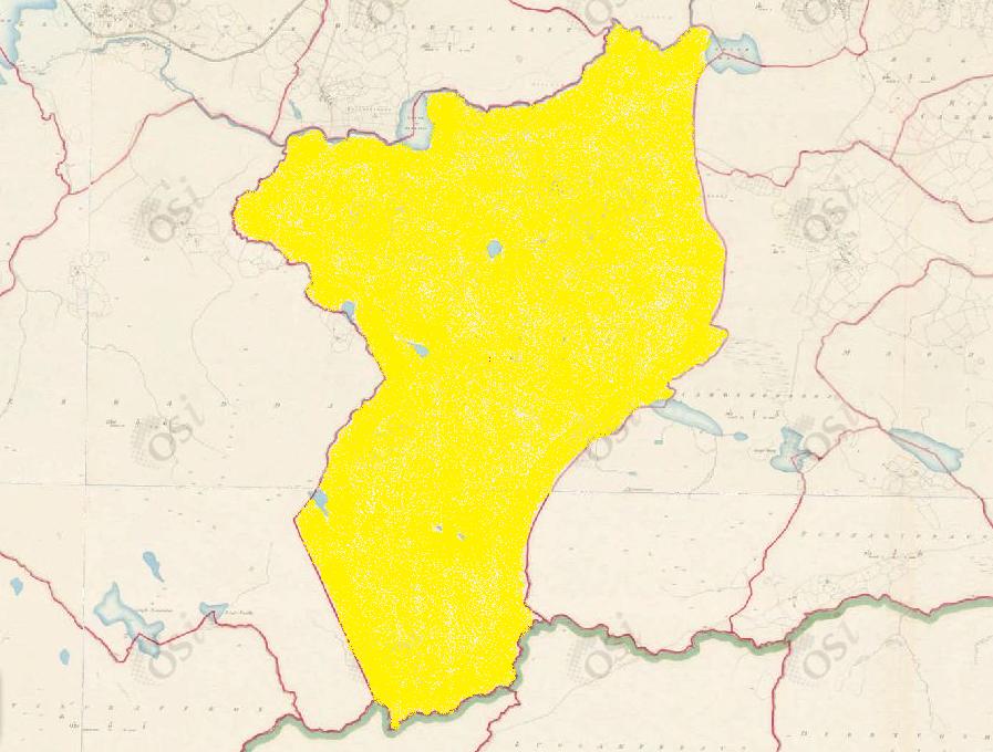
Size: 1673 acres, 2 rods, 36 perchs
Siting:
In the northern extremity of Kilcummin parish. Bounded on the north by Glengowla East and Claremount, on the east by Cregg and Clooshgereen, on the west by Derradda and south by Killannin Parish (Luggakeeraun and Seecon).
Description:
Land wet and mountainous. Contains 1,654 and a half acres of land about 100 acres of which are under patches of tillage. There are 19 and a quarter acres of water, the remainder is mountain pasture.
Placenames within townland:
Corkernarusheeny – Translates to ‘pass of the little points’. A high hill in the townland across which a boundary wall runs which divides it from Cloosh hill.
Lough Mall – Translates to ‘the lake of the knoll’.
Loughaunoran – Translates to ‘little lake of the cold spring’. A small lough on the border between Rusheeny and Derradda.
Loughderrynameliagh – Translates to ‘lake of the oakwood of the midges’. A small lough on the border between Rusheeny and Derradda.
Slievenarusheeny – Translates to ‘mountain of the little points’. Noted as a tract of bog in the townland interspersed with hillocks called Rushenys from whence the townland and hill take their names. Could also be a name attached to Corkernarusheeny Hill.
Ringfort 1 – On the north slope of Corkernarusheeny hill. A sub-circular cashel (diameter c. 25-30m) in fair condition defined by a drystone wall overlain by a modern field wall. A gap at north-north-east also appears modern.
Ringfort 2 – Circa 120m south of ringfort 1. A sub-circular cashel (diameter c. 25-30m) in fair condition defined by a bank of stone and earth overlain by a modern field wall. A gap at south-south-east also appears modern.
Field System – A group or complex of fields which appear to form a coherent whole. These date to any period from the Neolithic (c. 4000-2400 BC) onwards.
Previous proprietor/landlord:
Patrick Regan (c. 1850)
Land Value (1857): £ 50 s.0 d. 0
Buildings Value (1857): £ 5 s.16 d. 0
Surnames attached to the townland (1857-1911):
Conneely, Geoghegan, Houghagan, Kelly, Clancy, Naughton, Thornton, Flaherty, Connolly


No Comments
Add a comment about this page